Najempaim Playa continues its ongoing process of observation and monitoring.
During September 2026, a new and extensive photographic field survey was carried out, continuing the observations made during previous visits, including those documented in 2024.
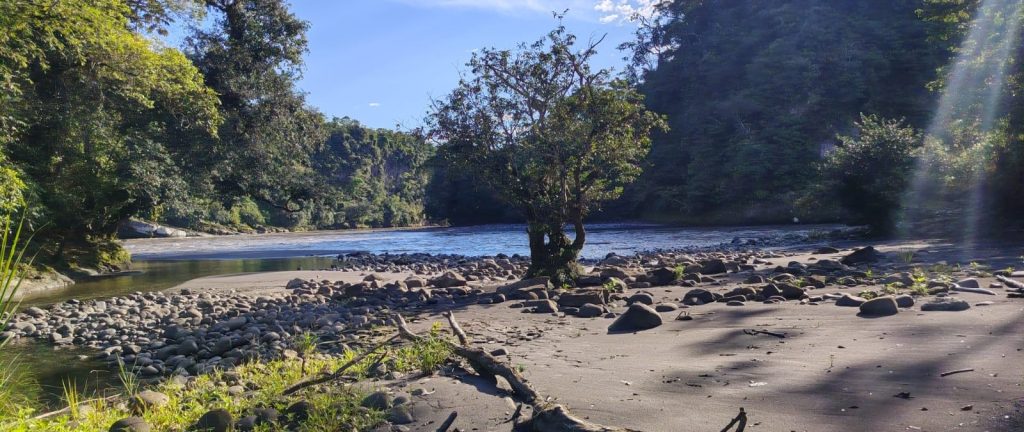
This new visit made it possible to explore different areas of the property in greater detail and expand the documentation of changes in vegetation, wetland habitats, the Upano River beach, and the flora and fauna present.
Active natural regeneration
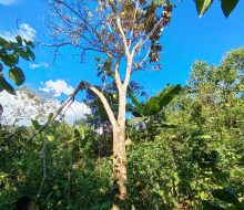
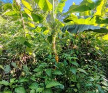
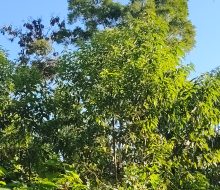
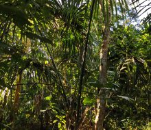
Comparison with previous observations and the current condition of the land shows active natural regeneration that is more advanced than expected.
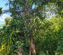
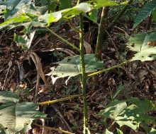
Vegetation cover is progressively increasing in previously disturbed areas, while other sectors already show dense vegetation, young trees, palms, vines and different layers of understory vegetation.
The aim of the project is to allow this process to continue with minimal human intervention and to document its evolution over time.
The Upano River beach, the Najembaimi River and the associated wetland habitats are part of the ongoing landscape monitoring.
Flora and fauna
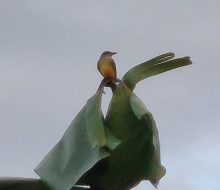
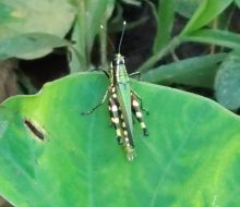
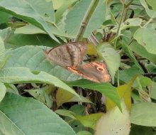
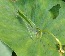
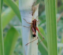
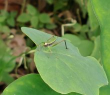
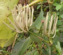
During the field survey, different insects and birds using the vegetation on the property were photographed.
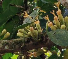
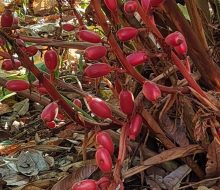
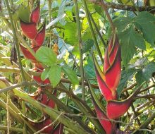
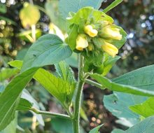
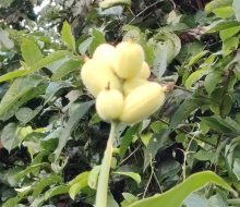
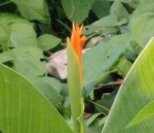
Numerous plants at different stages of flowering and fruiting were also documented. Flowers, fruits and seeds provide resources for insects, birds and other animals and are part of the natural processes of pollination and seed dispersal.
Different stages of regeneration
The property contains a mosaic of habitats. Areas that still retain traces of previous land use coexist with others where the vegetation has already developed a considerably more complex structure.
Trees, shrubs, palms, vines, herbaceous plants and riparian vegetation are progressively forming a more diverse structure.
Supporting nature without replacing it
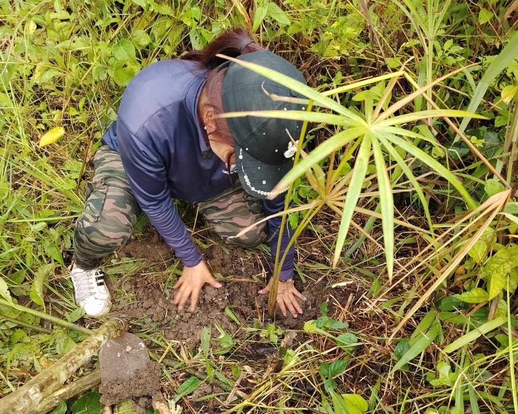
As a complement to this process, during this visit a small-scale vegetation enrichment initiative was carried out by planting approximately 40 seedlings of different tree and palm species.
The new plants have been distributed among the existing vegetation, without transforming the land or replacing spontaneous natural regeneration.
The purpose is simple: to increase diversity and encourage the establishment of new trees and palms while allowing nature to continue carrying out most of the regeneration process.
Ongoing monitoring
Records from different visits are beginning to build a visual history of the property.
As new observations are added, it will become possible to compare changes in the landscape, vegetation cover, observed species and the establishment of the planted specimens.
This monitoring aims to provide a long-term reference for the evolution of Najempaim Playa and a foundation for future observation, research and collaborative projects.
Observe, document and support regeneration with minimal intervention.